Schuylkill County NLCD Land Cover Analysis
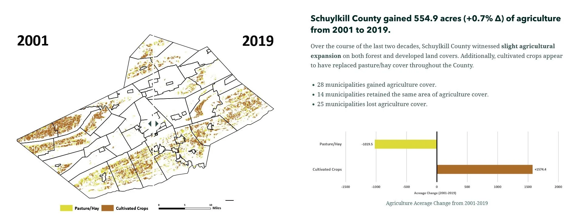
I created this ArcGIS StoryMap in an effort to educate the Schuylkill County Commissioners, Schuylkill County Planning Department, and general public on how the land cover of the County had changed over the recent decades. This project is fundamentally based on land cover data gathered from the National Land Cover Database (NLCD); a spatial database that organizes United States physical land surfaces into 16 different land cover types at 30-meter resolution by deriving Landsat satellite imagery.
NLCD land cover data was collected from the open-source Multi-Resolution Land Characteristics Consortium for the continental United States for 2001 and 2019. I converted the raster land cover data to vector, clipped it to Schuylkill County municipal boundaries, and exported the data to Microsoft Excel to understand land cover change in the target area from 2001 to 2019. The maps were made in ArcMap 10.6 and edited in Adobe Acrobat. The charts were made in Microsoft PowerPoint and Excel.
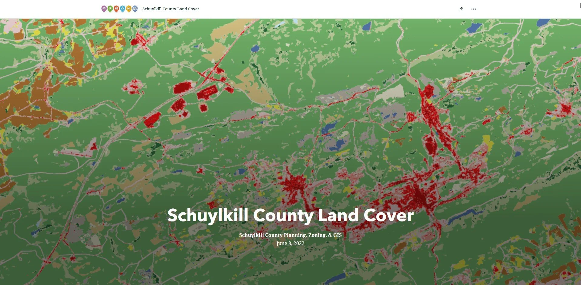
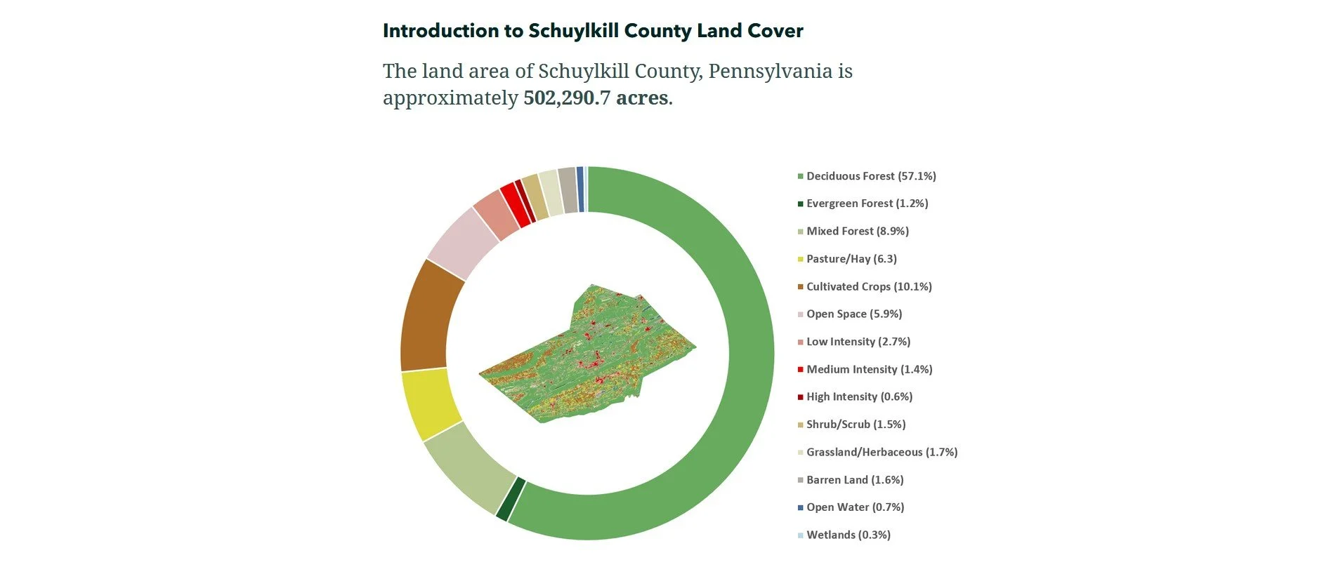
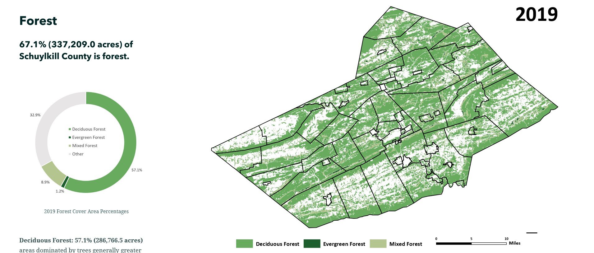
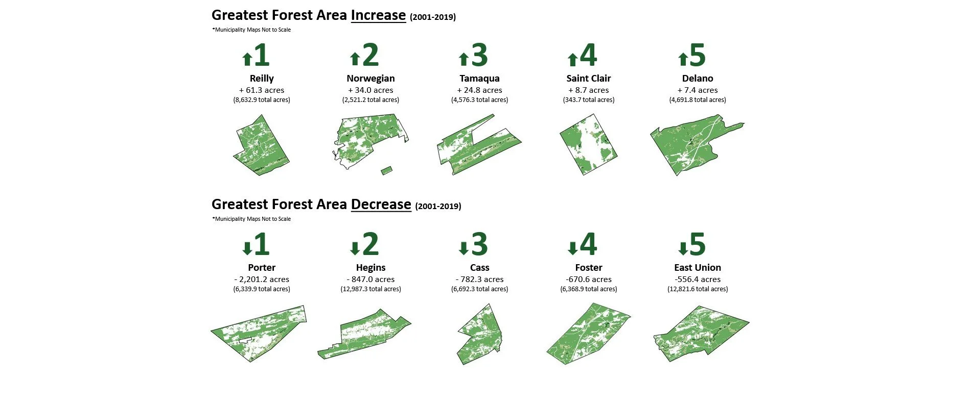
Within the ArcGIS StoryMap, one can see how land cover changed over the 20-year study period in various maps, charts, and graphics. Comparing land cover data over time allows communities, such as Schuylkill County, to evaluate the product of their implemented land management practices, as well as understand basic land-based trends that can aid comprehensive land planning and development in the future.