Local Technical Assistance Program (LTAP) Activity Dashboard
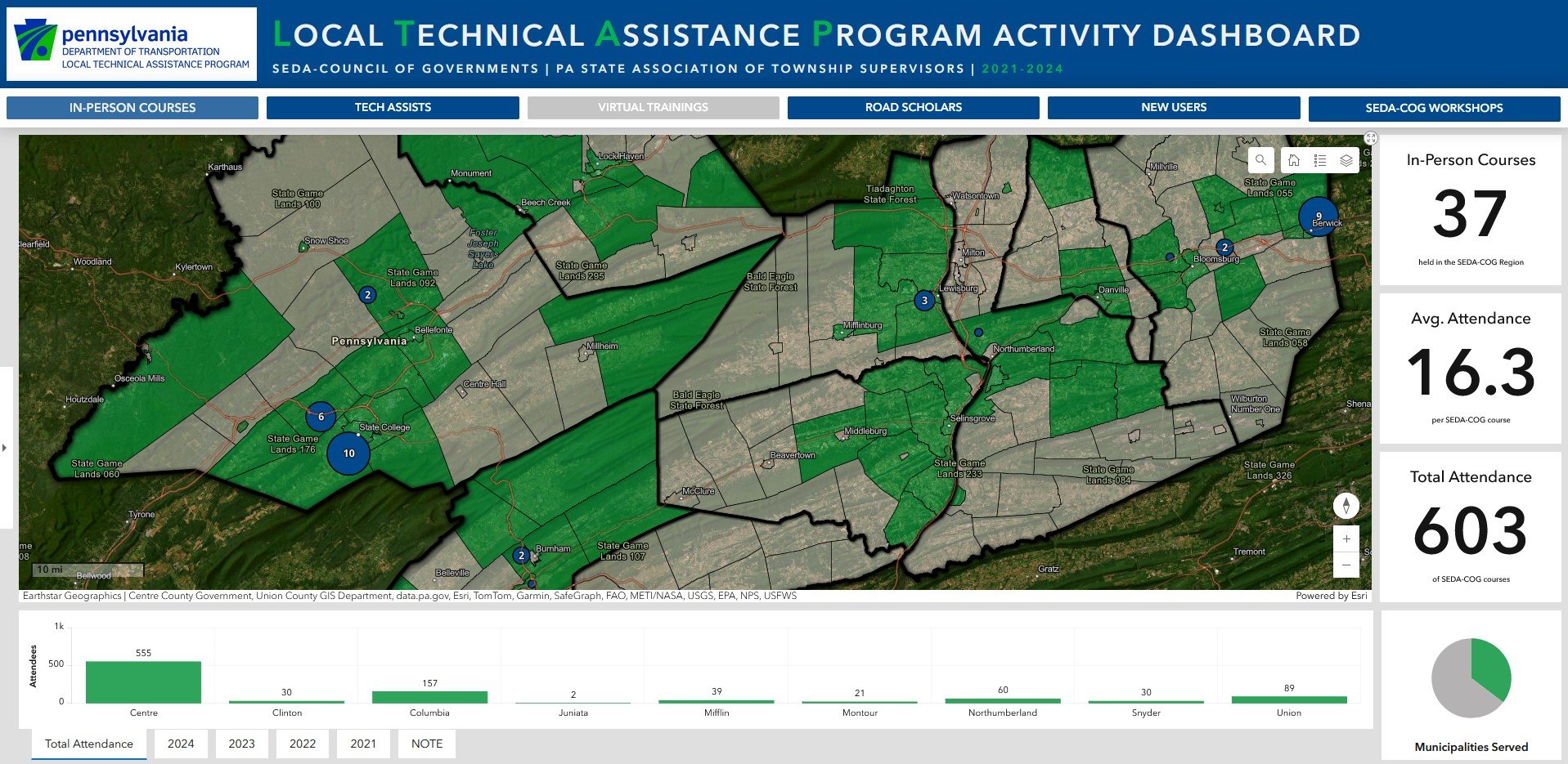
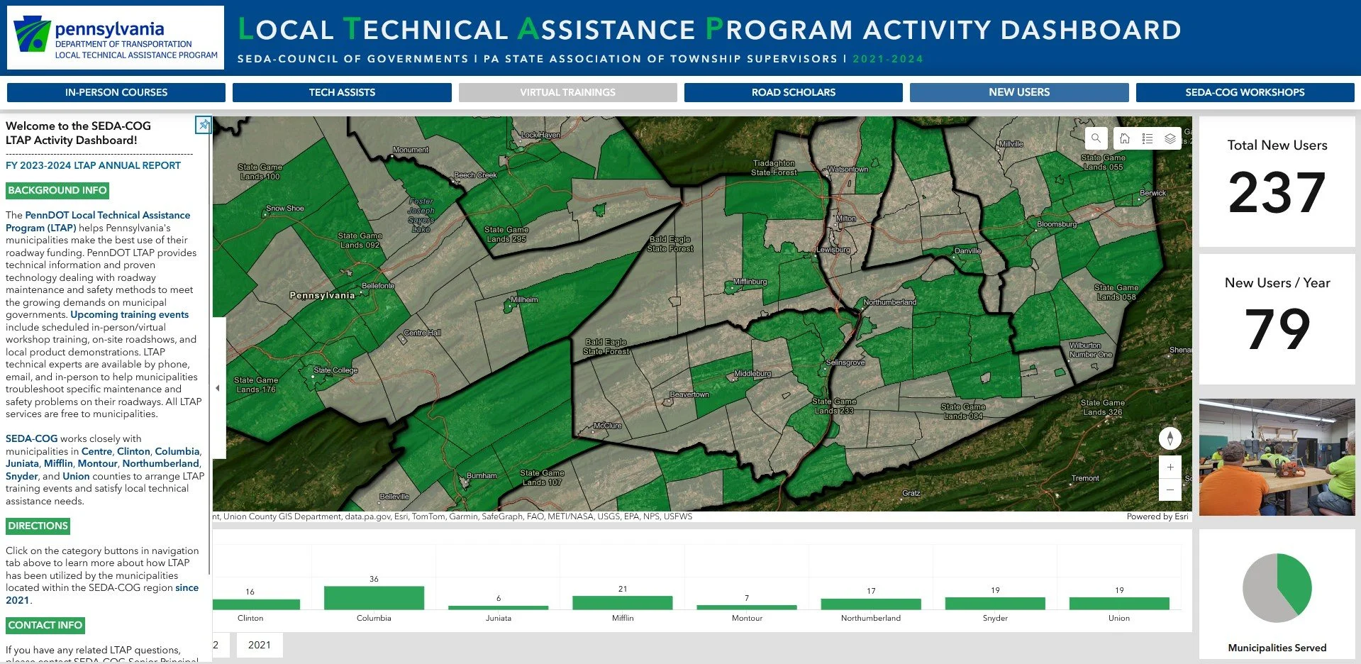
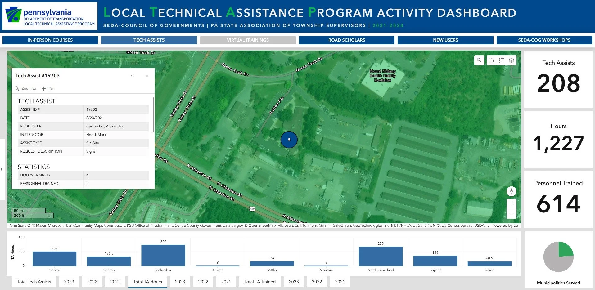
In 2023, I met with SEDA-COG's main PennDOT contact to discuss how the GIS Office could help develop their transportation efforts. It became clear that documenting PennDOT outreach to local governments was priority number one. So, I made it my mission to visualize PennDOT's Local Technical Assistance Program (LTAP) work within the SEDA-COG region (LTAP is a PennDOT outreach program that provides technical information to municipal governments via in-person courses, virtual trainings, and workshops).
The Local Technical Assistance Program Activity Dashboard, is an ArcGIS Experience Build that hosts multiple, duplicated ArcGIS Dashboards. Each of the duplicated dashboards display the same, edited map showing which municipalities have participated in a given LTAP education activity. Added charts and number indicators display more useful information. Political boundary GIS data was provided by PennDOT.